Raptor Nest Surveys


This is the only file you need  (opens in Google Earth)
– – -> Google Earth file (.kmz)< – – –


Intro

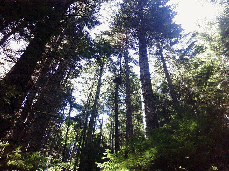
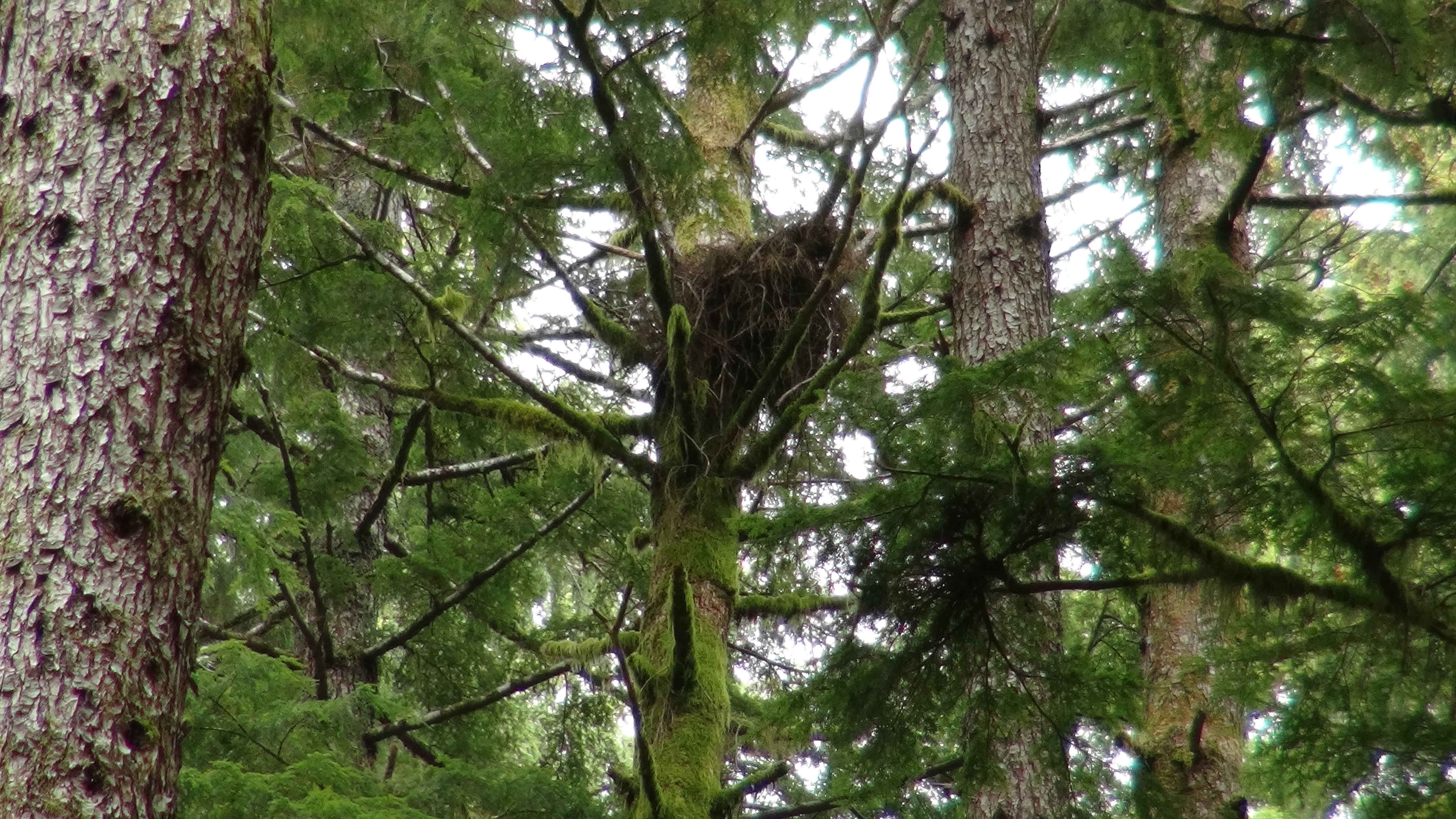
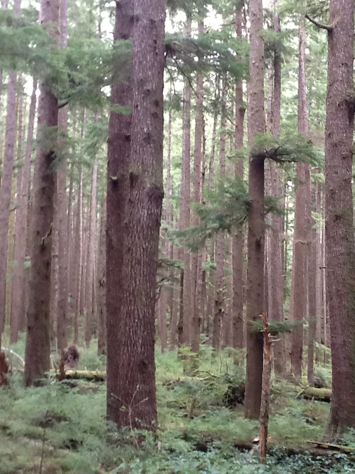
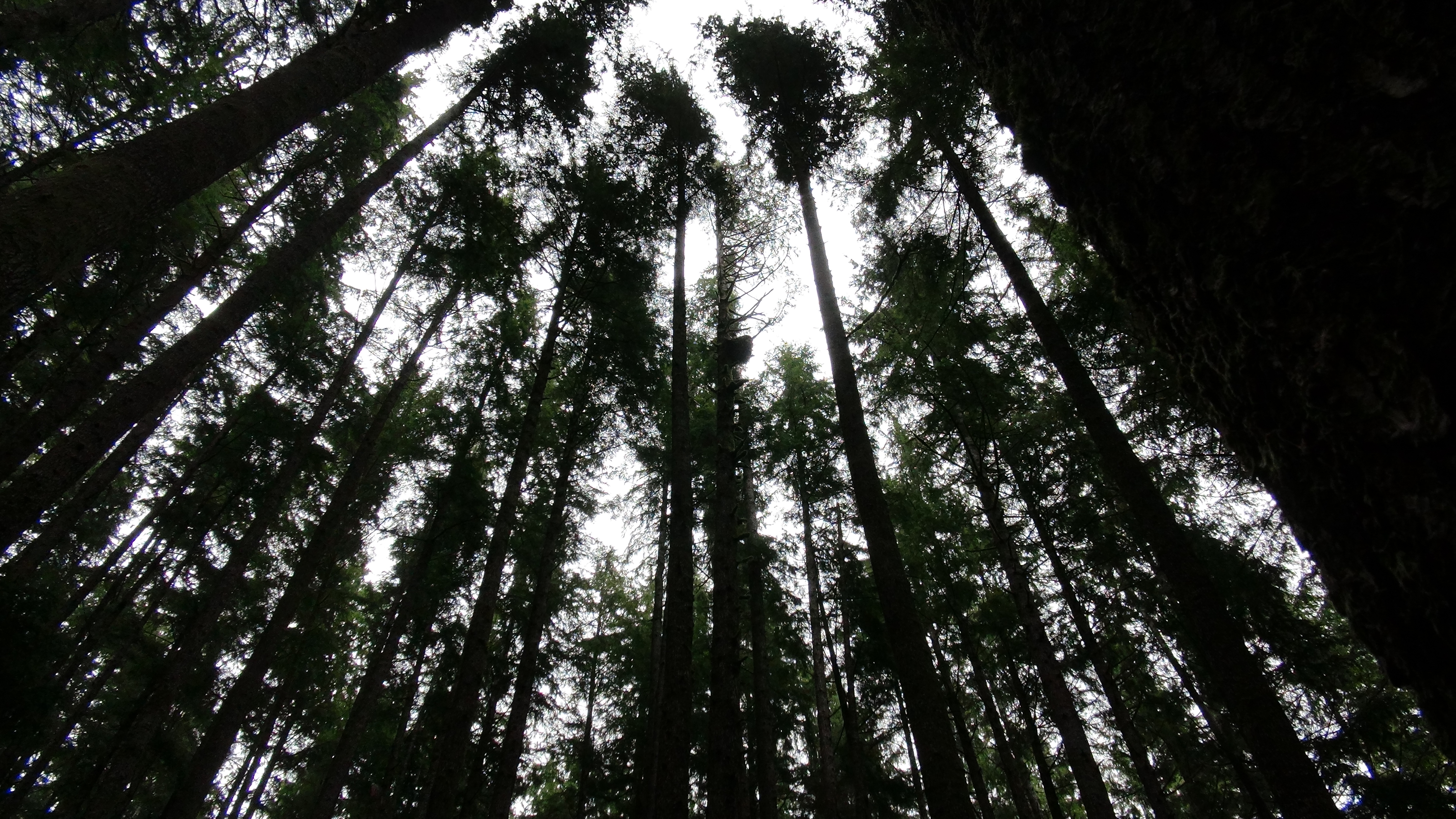
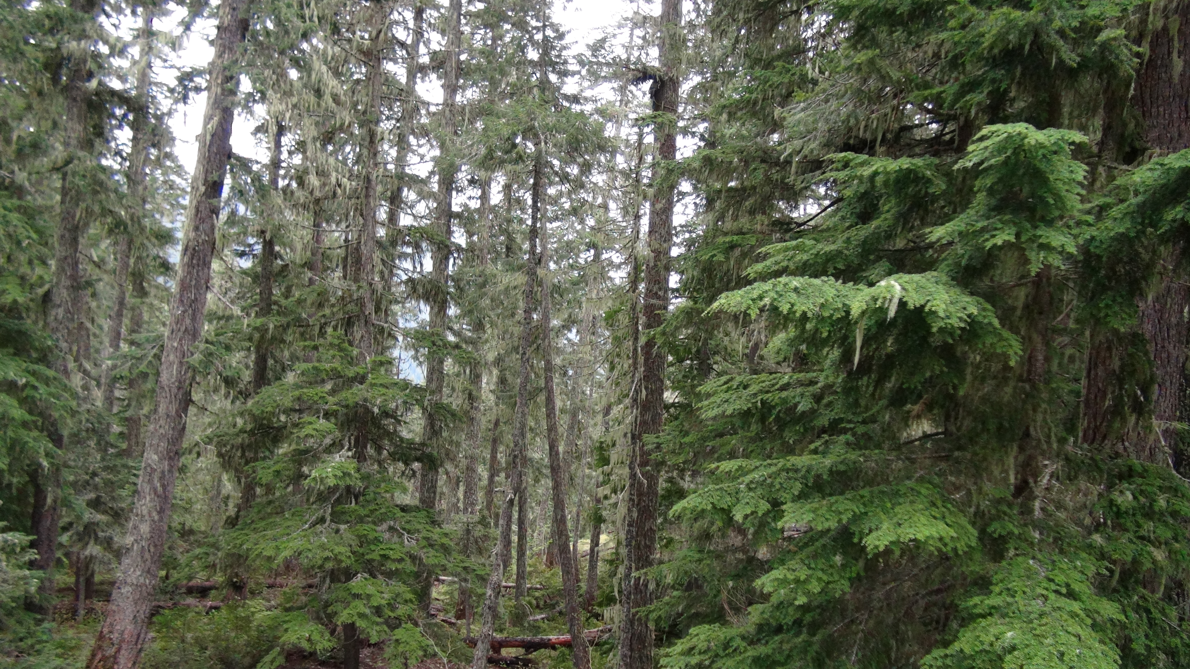
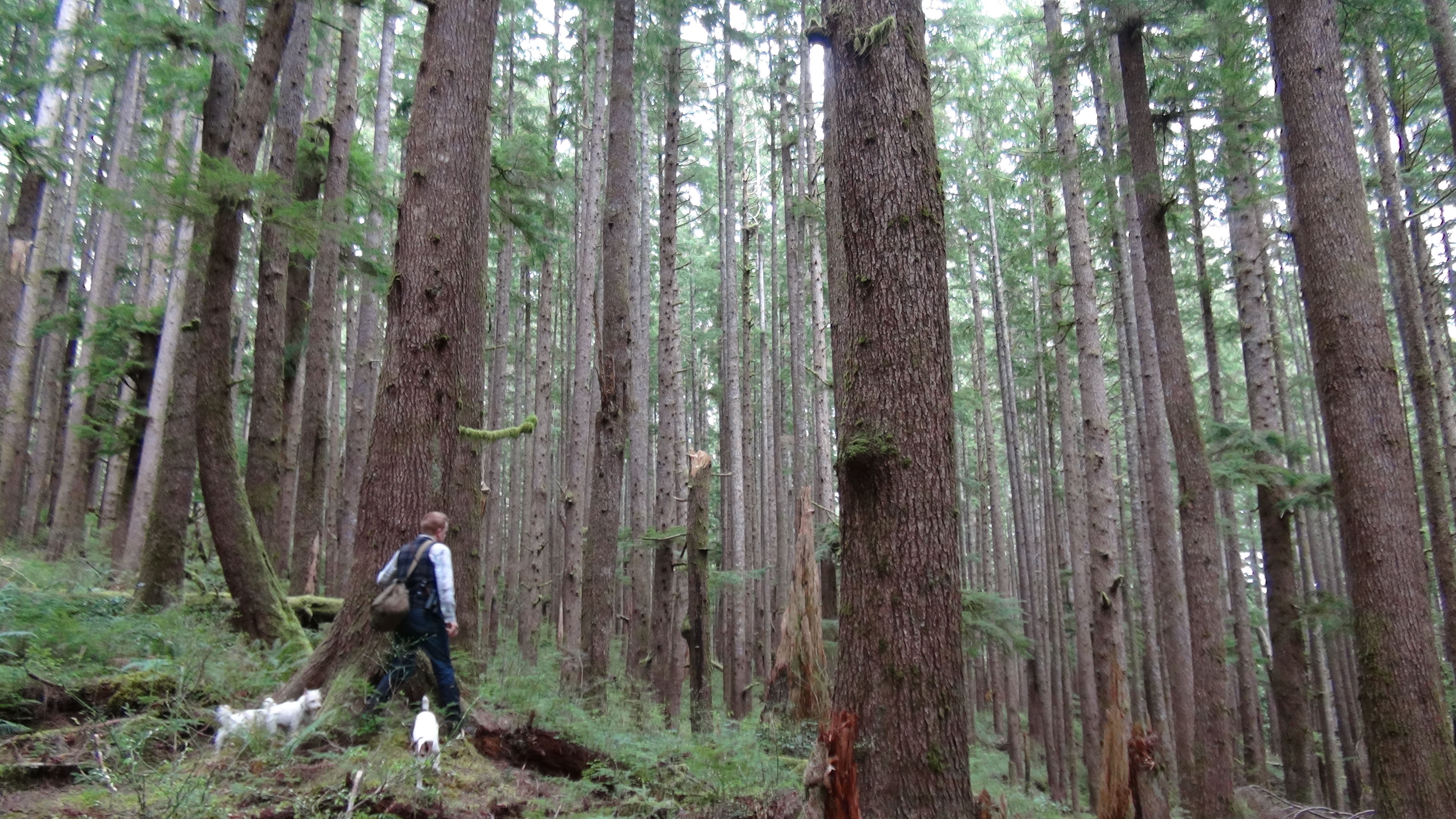
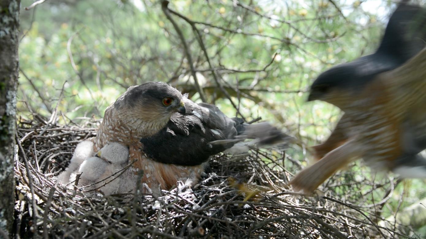
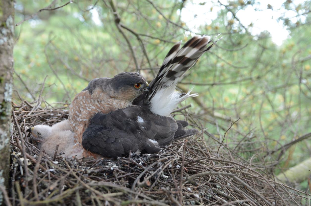
I put together this information after spending some time lost in the woods, trying to figure out where I was from topo maps or verbal directions. Many times when I came home I realized I was one valley or ridge over from where I needed to be. Some sites had been cut, others built up, and some haven’t had birds for decades. However, using historical nesting sites is a great place to start a search.

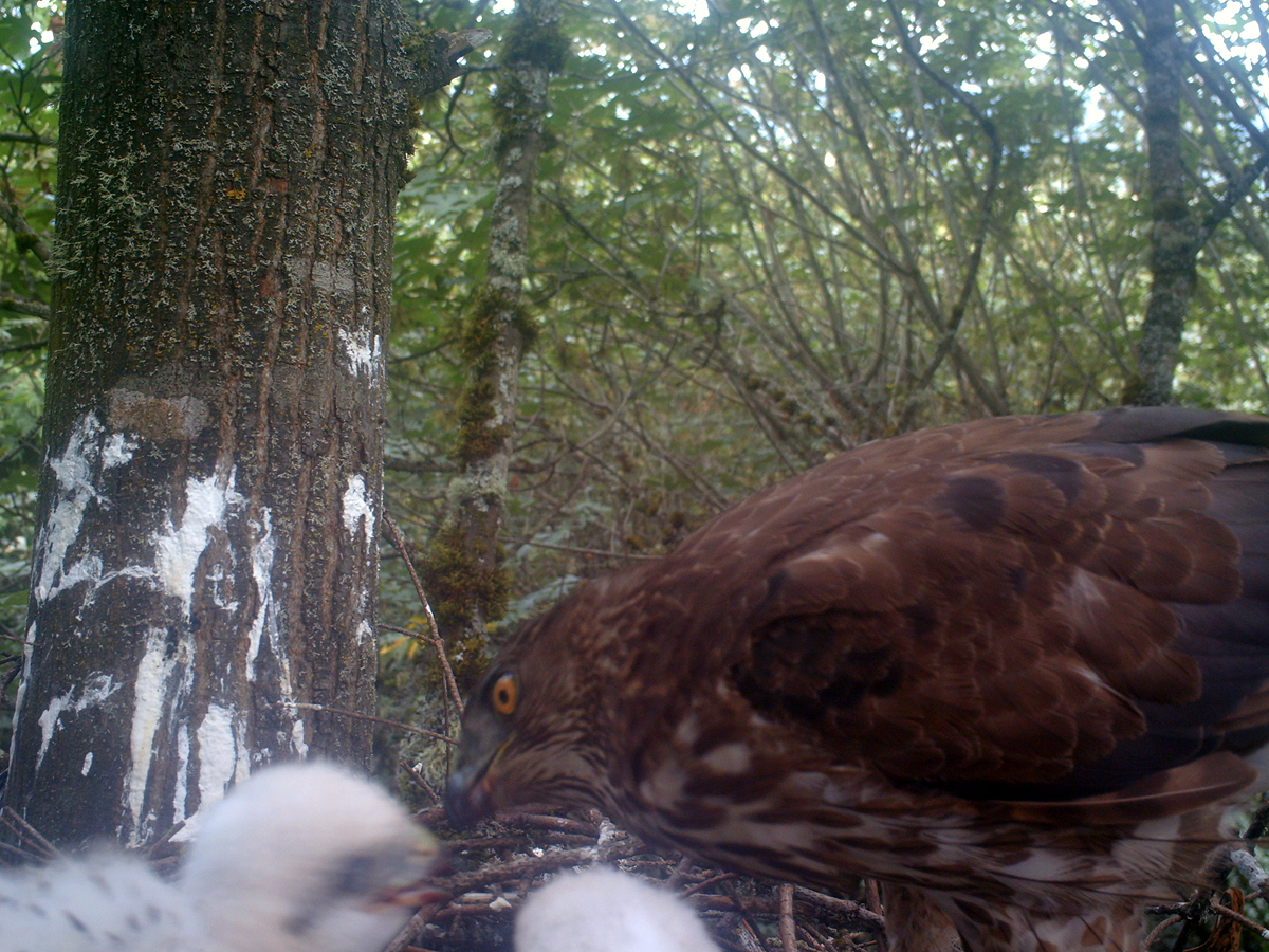
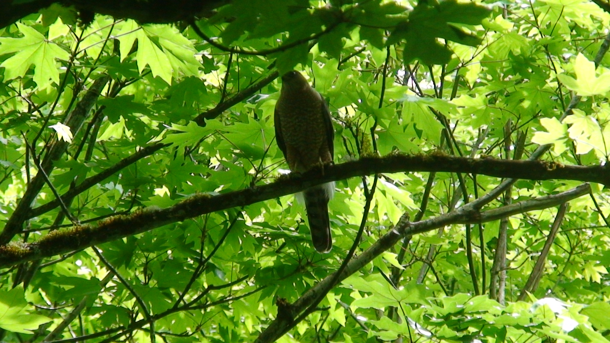
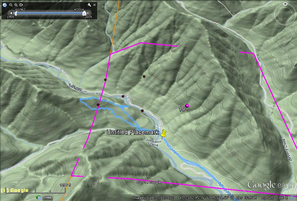
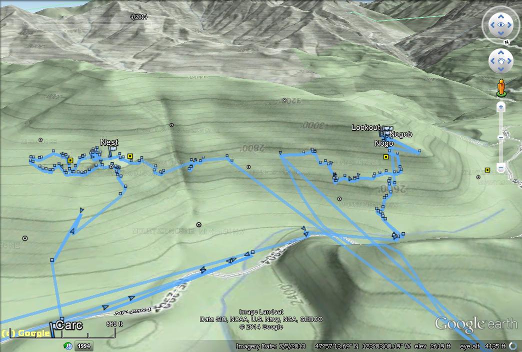
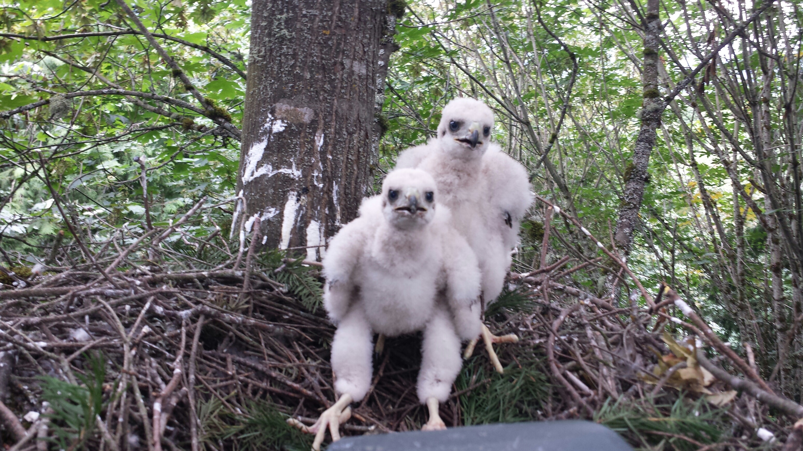
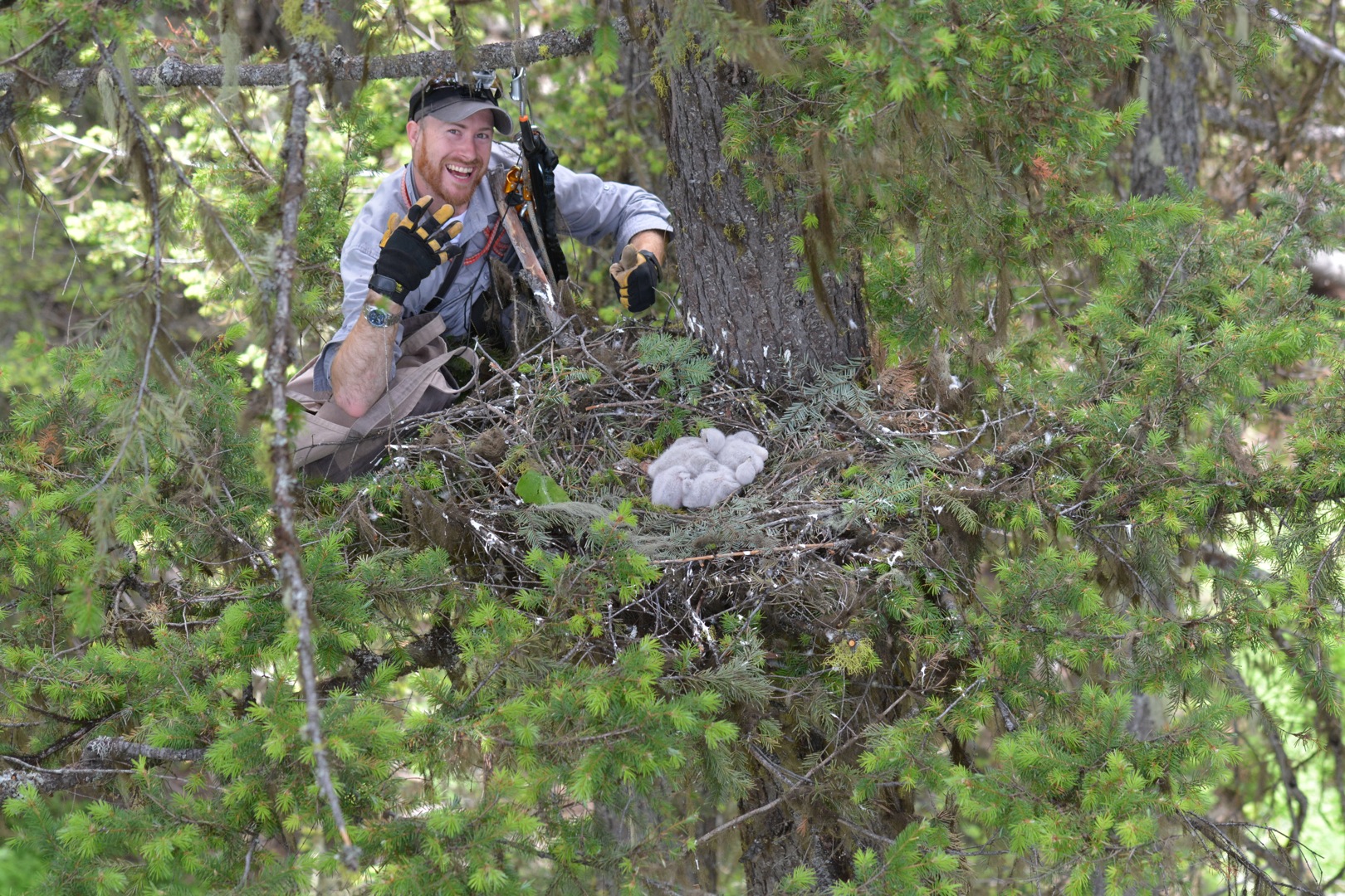
I have personally used this data to put a single waypoint in my GPS, hike there, play a call, get a response, and find an active nest in the cascades from a previous record from 1994 (18 years prior). To me, that is amazing!!! They have since nested there in 2012, 2013,and 2014. I hope to see them again for a 4th consecutive year. Another nest 30 miles to the east has been occupied in 2014 and is active again (2015) with a previous record of 1994 also; there must have been some people looking in the 90’s 😉 Of course, I have also found a bunch of old nests. But in the seemingly endless country out on the Olympic Peninsula, an old nest feels like a win to me! Using GE imagery you can scout out whether the forest has been cut or if there has been a forest fire like in the Swakane canyon before driving. Historical imagery is available on some maps to compare forest structure over decades. You can also use the data to plot your track over actual terrain using elevation data and print the map out to have a hard copy. There are not a lot of people looking anymore but for those that are I hope this information is helpful and offers a road to collaborate. I would love to hear your adventures or updates!

If you would like to share this page with another person please ask and/or inform Dan or I, Thank you. It helps to know who has access and where people are planning on searching so others don’t go to the same spot and waste time, and to share information. Last year it worked well. I will post updated information and pictures about active nests reported to me in 2014 and update the google earth file for you guys. 🙂 I also need some updates from people about NE Wa nests. I would be happy to keep some locations private if needed.

Watch Intro Video

Play .WMV instead of Youtube

This video is rough and shows some of the earlier data but it is enough to get the general idea. I plan on updating it at some point. And to show how you can batch import files from a spreadsheet to GE.

Maps

The Google Earth File is really the best way to view the data! However, I have included some embeded maps below so you can view a section of the data on your cellphone or on a computer without Google Earth installed. If you have a slow internet connection it may take some time to download… let me know if it crashes your browser (I can link to external pages instead).

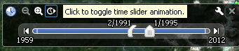
You can even see a timelapse “show” of the spots by double clicking on the “by year” folder and pressing play in the top left. GE timeslider


Google Earth Plugin


Fullscreen window

Google Maps


View Alll Goshawks in a larger mapGoogle Maps only shows some waypoints at a time…

specific areas

W Cascades

[map style=” position: relative; top: 30px; left: 0px; width: 1200px; height:800px; margin:20px 0px 20px 0px; border: 1px solid black;” lat=”46.31″ lon=”-121.81″ kml=”http://aaronsworld.com/wordpress/wp-content/uploads/GoshawksWCascades.kml” mtoggle=”yes” marker=”yes” z=”9″] Close

E Cascades

[map style=” position: relative; top: 30px; left: 0px; width: 1200px; height:800px; margin:20px 0px 20px 0px; border: 1px solid black;” lat=”47.41″ lon=”-120.61″ kml=”http://aaronsworld.com/wordpress/wp-content/uploads/GoshawksECascades.kml” mtoggle=”yes” marker=”yes” z=”9″] Close

Olympics

Olympics Historical

[map style=”position: relative; top: 30px; left: -60px; width: 1200px; height:800px; margin:20px 0px 20px 0px; border: 1px solid black;” kml=”http://aaronsworld.com/wordpress/wp-content/uploads/GoshawksOlympics.kml” mtoggle=”yes” marker=”yes” z=”11″] Close

Goshawks GPS Olympics

[map style=”position: relative; top: 30px; left: -60px; width: 1200px; height:800px; margin:20px 0px 20px 0px; border: 1px solid black;” kml=”http://aaronsworld.com/wordpress/wp-content/uploads/GoshawksGPSOlympics.kml” mtoggle=”yes” marker=”yes” z=”10″] Close

Close

USFS

[map style=”position: relative; top: 30px; left: 0px; width: 1200px; height:800px; margin:20px 0px 20px 0px; border: 1px solid black;” lat=”47.39579″ lon=”-121.1844530″ z=”10″ marker=”yes” kml=”http://aaronsworld.com/wordpress/wp-content/uploads/GoshawksUSFS.kml”] Close

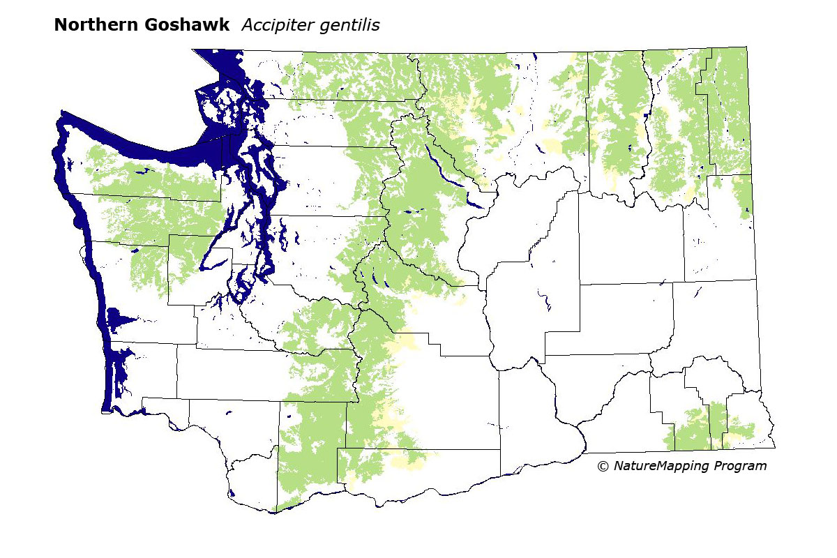
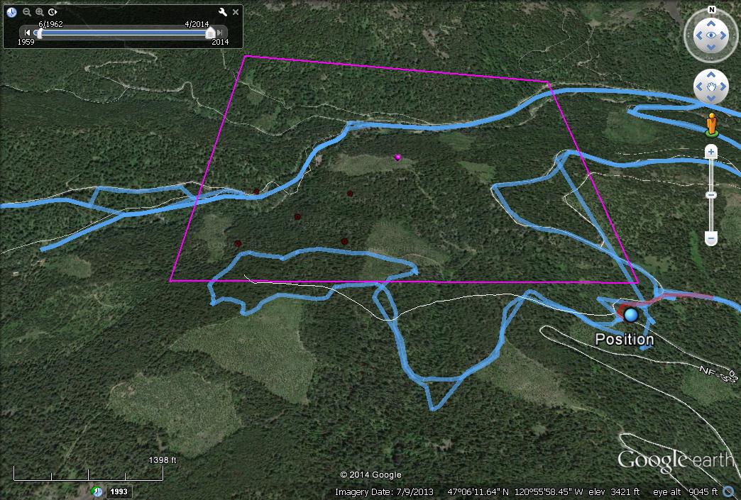
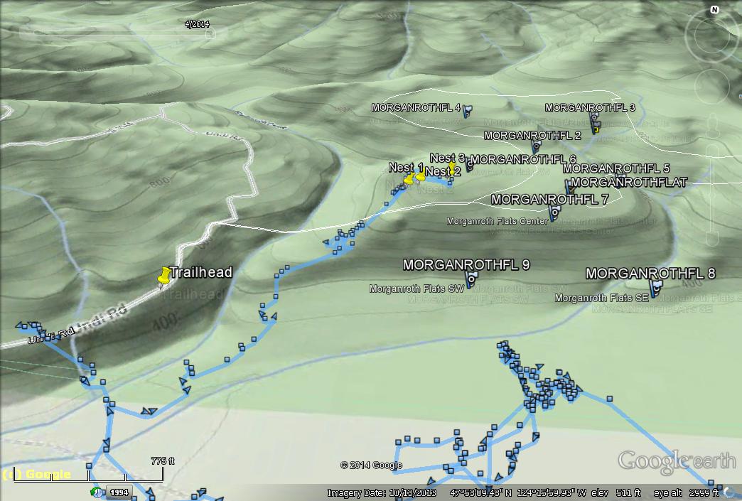
I used TRS data (Township Range Section) from historical nest sites to find the corresponding 1/4, and 1/16th sectionsThen I converted these to GPS coord,To aid in 3D mapping and to increase the odds of actually being in the right place in the woods while searching for Goshawk nests.

Original Data:

1. TRS -> GPS

I converted township and range using this website-> http://www.earthpoint.us/TownshipsSearchByDescription.aspx

Then I saved each corner coordinate into the excel docto split up the section (~600-800 acres) into quarters (150-200 acres) and 1/16ths (to get around 30-50 acres for each search area) assuming 1/16th section data is known…

2. Excel

Each Corner Co-ord is inserted into Excel document with formulas

Then Each column will calculate 1/4 section (colored backgrounds) and 1/16th section (Corners Each Column, 1/16th section in rows)

Make master list with GPS coord’s by pasting nearest known location (1/16th section) Coor-d’s under the “Coords of section” data , to find each Corner and center

latitudes have positive values to make the math easier (type in a negative into the gps)

Excel may make you paste data as values, right click “123” (pasting 1/16th section coords into excel).

3. Google Earth

I put each coordinate into Google Earth for each site, Center and NW,NE, SW,SE corners


Save all points for a site under a folder with the site name,

organize by alpha and /or region

Then I can export to google maps or GPS

—Actually I used google to batch import a google spreadsheet to make a kml file that is saved in google earth as a network link (meaning when I update the spreadsheet on my end it automatically updates for you in google earth).—

4. Export to GPS

You can use this website to convert .kml or .kmz into .gpx (Which can then be downloaded into a GPS)

http://www.gpsvisualizer.com/

There are many way to actually get the waypoints onto your GPS from a .GPX file. I have found a program called easy GPS to be really fast and easy to use. (my old Garmin is limited to 500 waypoints).

Hopefully this will help you to get to the right place at the right time. . .


Calls

Here are some samples of calls I have used:
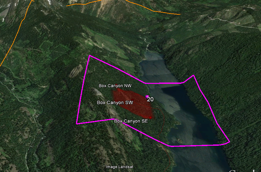
If you have any that you would like to share please contact me.

Calendar

Here is a calendar that shows some recent extrapolated information about timing for raptor nesting in Washington